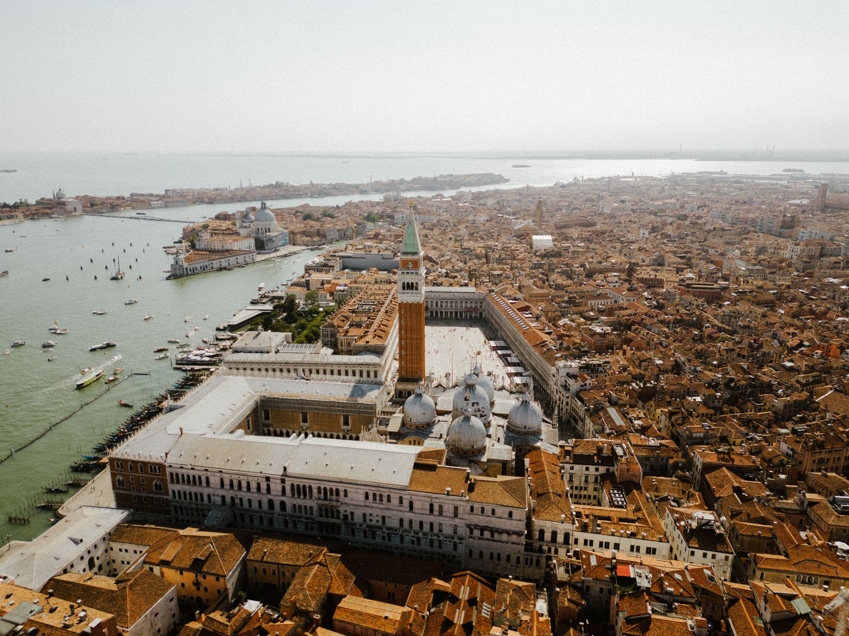

Nobody could fly in 1500, yet that year a woodcut appeared showing Venice as a bird would see it: every canal, bridge, campanile and moored ship laid out across the lagoon. It is one of the great objects of Renaissance printmaking. The best part is that you can now explore it online in more detail than any sixteenth-century buyer could have managed with a magnifying glass.
A print the size of a wall
The View of Venice was printed from six wooden blocks onto six sheets of paper, each about 66 by 99 centimetres, the largest sheets produced in Europe up to that time. Joined together, they make an image roughly 1.3 metres by 2.8. It was published in late 1500 by Anton Kolb, a merchant from Nuremberg. On 30 October the Signoria gave him an exemption from export duty and the exclusive right to reproduce the print for four years. In his application Kolb said the work had taken three years to prepare, but he did not name the artist. For a long time it was credited to Albrecht Dürer. Today it is firmly attributed to the Venetian painter and printmaker Jacopo de’ Barbari, who signs his work with a caduceus, the staff carried here by the figure of Mercury at the top.
It was not cheap. Kolb needed to sell copies for at least three ducats to recoup his costs, about a master painter’s monthly wage, so these were wall decorations for the wealthy. Only around a dozen copies of the original 1500 version survive. The six original blocks, in pear wood according to the Correr’s own account, are in the Museo Correr in Piazza San Marco.
How was it possible?
The romantic answer is that Barbari and a team of surveyors climbed the city’s bell towers, sketching one small section after another. Museum labels still tell it that way, and the print does show 103 of them. The scholarly answer is stranger. In a famous 1978 analysis, Juergen Schulz argued that Barbari seems to have begun at the eastern end, perhaps working from plans used for maintaining the city’s waterways. As he moved west he compressed the scale, apparently because he was running out of paper. The scale works out at roughly 1:1,250 east to west but only about 1:2,750 north to south. Buildings are simplified and towers exaggerated: the Doge’s Palace is drawn about half as tall again as it should be for its width.
Deborah Howard went further and suggested the distortion was deliberate. Three years of expensive work is not an accident, she argued, and the outline of the city has been shaped to resemble a dolphin, with its rounded head on the left and its tail on the right. Either way, this is not a photograph. It is a composition built from knowledge, measurement and imagination, and it is no less impressive for that. The Cleveland Museum of Art calls it the first attempt to render a city according to the laws of geometry, even if its perspective is not entirely consistent.
What to look for
Mercury, god of commerce, presides from the top edge, while Neptune rides a dolphin through the harbour. Eight wind gods stand around the border. Look at St Mark’s Campanile too. The original version, from 1500, shows it with a temporary flat roof after a lightning fire in 1489. The blocks were altered around 1514 to show it as rebuilt after the earthquake of 1511, and the date was removed. The campanile is the quickest way to date a copy. There is one notable absence: the Lion of St Mark, emblem of the Republic, doesn’t appear, which has been put down to the German origins of the man who commissioned it.
See it for yourself
Google Arts & Culture has two copies you can zoom into, both of the original 1500 version. One is the Minneapolis Institute of Art’s print, in unusually good condition. The other is the copy from the Museo Correr. Look closely and individual rooftops and chimneys resolve. Duke University’s library also hosts a high-resolution scan of the Minneapolis copy, created by its Digital Art History and Visual Culture Research Lab. If you’re in Venice, the Correr shows the blocks themselves alongside a surviving 1500 copy, and the Biblioteca Marciana holds a copy of the later version.
Here’s a challenge for the keen-eyed. See if you can find all 103 bell towers.
Sources
- Wikipedia: View of Venice, drawing on Juergen Schulz, “Jacopo de’ Barbari’s View of Venice” (The Art Bulletin, 1978) and Deborah Howard, “Venice as a Dolphin” (Artibus et Historiae, 1997)
- Minneapolis Institute of Art: View of Venice
- Google Arts & Culture: View of Venice (Minneapolis Institute of Art)
- Google Arts & Culture: Veduta prospettica di Venezia (Museo Correr)
- Cleveland Museum of Art: View of Venice
- Italian Art Society: the Kolb privilege of 30 October 1500
- Google Arts & Culture / Fondazione Querini Stampalia: The rarest book
- Duke Digital Art History & Visual Culture Research Lab: A Portrait of Venice
- Duke University Libraries: high-resolution image of the View of Venice
- Princeton Graphic Arts: Need a Project, no. 6? Venice
Header photo: Gianfranco Marotta, via Pexels.


Leave a Reply